


Santo Domingo.- The Dominican Institute of Civil Aviation, Idac, and the National Geographic Institute agreed to draw up an operational plan to collect geodetic data that will serve as a basis for the improvement of aeronautical charts of the take-off and landing area that must be included in the terrestrial networks and in all airports, aerodromes and heliports in the country.
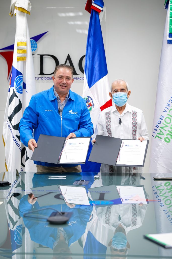
Héctor Porcella and Bolívar Troncoso Morales, heads of the two public entities, defined a collaboration protocol to work on the design and updating of the geodetic plates documented by the National Geodetic Survey of the United States in 1997.
Troncoso Morales said that the objective of the agreement is to initiate a framework of reference to coordinate within the State, the maintenance of the data of the National Geodetic System and the standardized production of aeronautical visual flight charts, in order to cooperate in the development and training of the System.
Porcella declared the project as a commitment of strategic interest for Idac as part of the program of actions it has been developing to strengthen operational safety in the aeronautical field.
The two officials formalized the commitment during a ceremony held at Idac headquarters in the presence of the technical and legal authorities responsible for coordinating the action plan.
On the part of the José Joaquín Hungría Morel National Geographic Institute, the agreement contemplates supporting Idac in the collection of reliable and accurate geospatial information, based on established standards and norms; to provide qualified technical personnel, for the socialization of the issues binding on the parties, as well as those technical aspects related to the Geodetic Service.
Likewise, verify geodetic plates documented by the National Geodetic Survey in all airports, heliports and aerodromes that make up the airport system of the Dominican Republic.
It must also carry out maintenance and occupation visits to the geodetic plates at the request of the Idac for the control of telluric movements and monitoring of displacements and contribute through the Idac to the training of its public servants, with a view to having the geospatial data required for adequate planning of the development of the aviation sector.
While the Idac is responsible for cooperating with the Geographic Institute in the logistics for the proper handling, production and maintenance of data related to aeronautical visual flight charts; Provide recommendations and knowledge related to the purposes of their counterpart in accordance with international safety and quality standards within the field of aviation, among other responsibilities.
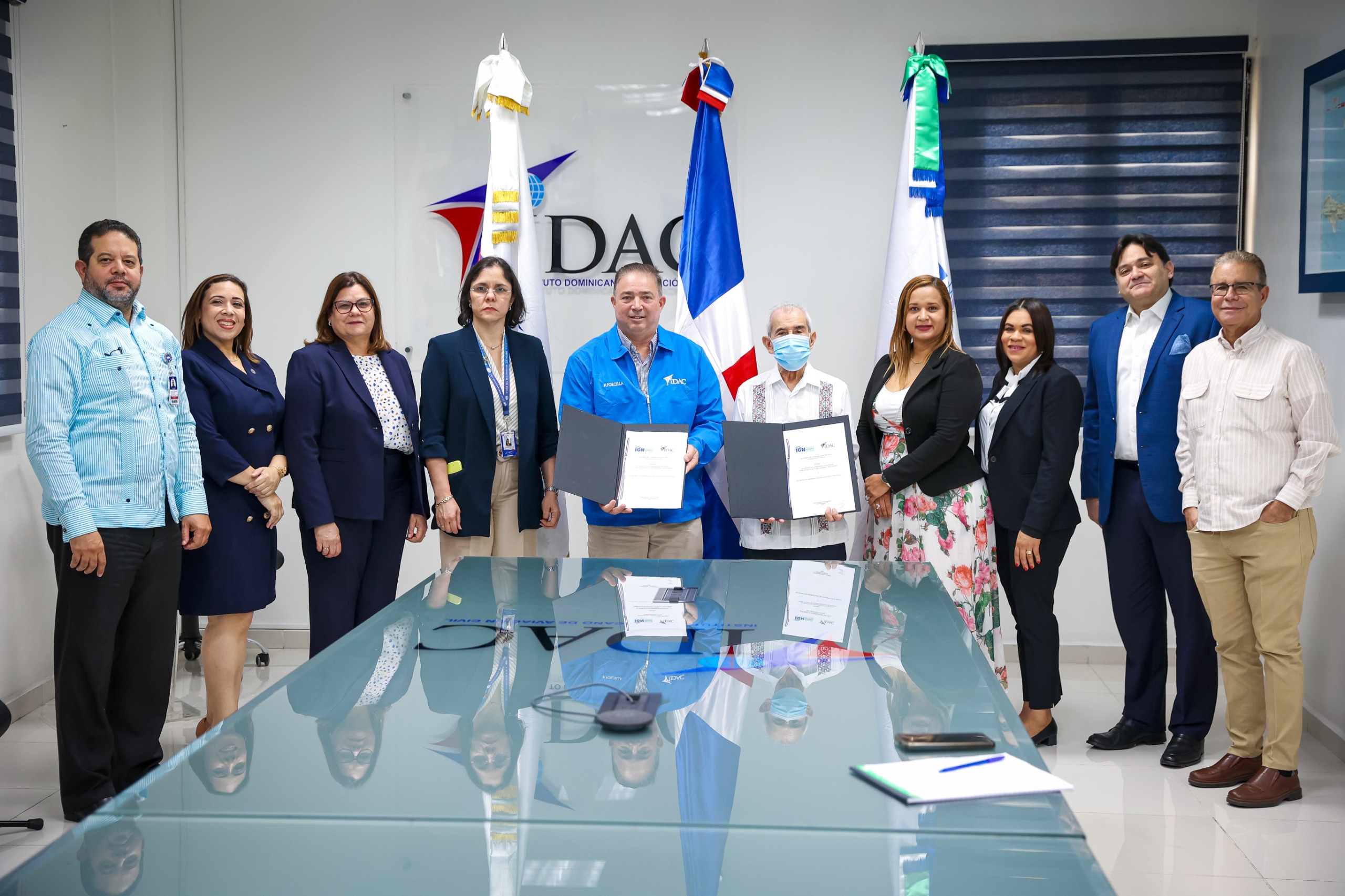
On behalf of the National Geographic Institute, Troncoso Morales was accompanied by Saulimar Rodríguez; of the Directorate of Geodesy; and Lucila Almánzar, in charge of the legal department.
On behalf of the Idac, together with Héctor Porcella, Bernarda Franco, legal director; Claudia Roa, Director of Air Navigation; Gender Castro, director of Operational Safety Surveillance; Izzet Sansur, administrative director; Jasmín Fabré, in charge of Interinstitutional Relations; and Luis José Chávez, director of communication.